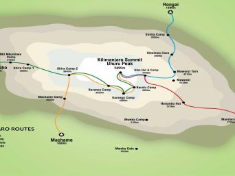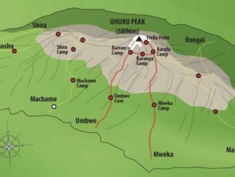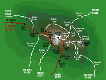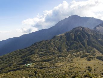
The Shira Route is a little used trail that begins near Shira Ridge. It is nearly identical to the Lemosho route. In fact, Shira was the original route and Lemosho is the improved variation. Although Shira is a varied and beautiful route, it is less favorable than its successor due to the relatively high altitude of Shira’s starting point, which is accessed quickly by vehicle. It is possible that climbers will experience some altitude related symptoms on the first day while camping at 11,800 feet.
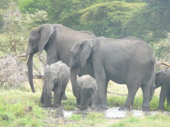
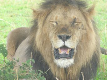
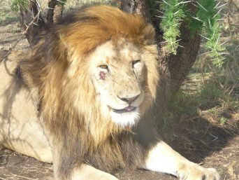
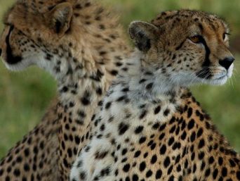
The route approaches Mount Kilimanjaro from the west, beginning with a long drive from Moshi to Shira Ridge. The vehicle bypasses the rain forest zone and the hiking trail begins on Shira Ridge. The Shira route crosses the entire Shira Plateau from west to east in a pleasant, relatively flat hike. Then the route traverses underneath Kilimanjaro’s Southern Ice Field on a path known as the Southern Circuit before summiting from Barafu. Descent is made via the Mweka route.
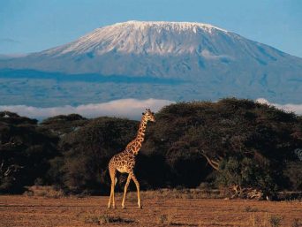
Mount Kilimanjaro
Elevation 5895m
Location Tanzania, Africa
Number of Climbers 25,000 Annually
Day 1
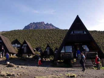
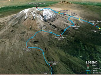
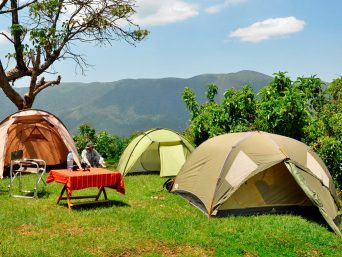
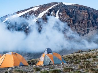
Londorossi gate – Shira camp (3600m)
Hiking time: 3-4 hours
Habitat: Moorland
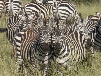
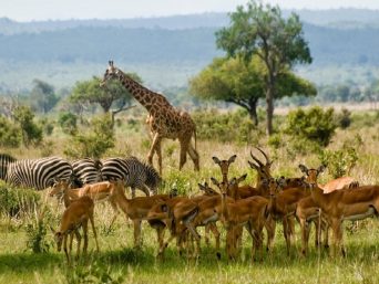
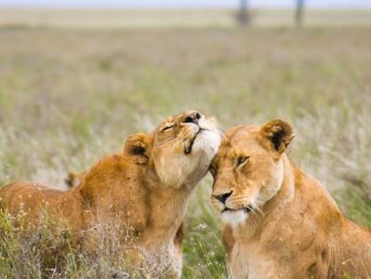
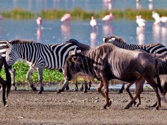
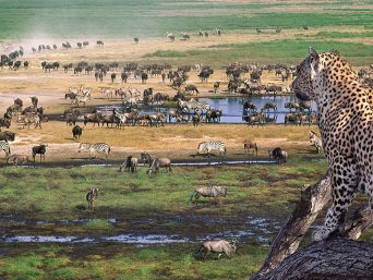
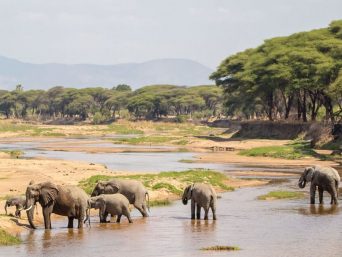
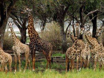
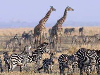
The day of walking that begins from Londorossi National Park gate (2,250 m.) through farmland and plantations, and continues climbing steadily on a broad track through shrub forest and stands of giant heather to reach the rim of Shira Plateau (3,350 m.) The views across the surrounding plains open out as we climb and the area is home to a variety of game including buffalo. Our first camp is in the centre of the plateau at “Shira One” (3,550 m.) [3-4 hours walking]
Day 2
Shira two camp (3840m)
hiking time: 5-6 hours
estimated distance: 5km
After breakfast continue hike east across the Shira Plateau past the Shira Cathedral towards Shira Two camp. We only gain 700 feet in elevation – this allows us to acclimatize slowly to the altitude. The views of the plateau are nothing less than spectacular. Overnight at Shira two camp 3850m
Day 3
Barranco (3950m)
Hiking time: 5hours
estimated distance: 6km
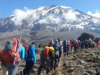
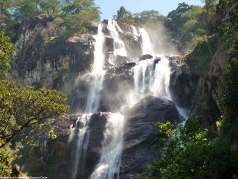
Today is the last of the “easy days”. It is about a 7-hour superb hike. We pass the Lava Tower, around the southern flank of Kibo, and slowly descend into the spectacular Barranco Valley, interspersed with giant lobelia and senecia plants. After arriving at our most spectacular campsite, everyone stands in awe at the foot of Kibo Peak, looming high above, on our left. Our camp is only 465 feet higher than where we were last night, but during the day, we will have climbed to just over 14,000 feet. This is one of our most valuable days for acclimatization.
Day 4
Karanga Valley (4000m)
Hiking time: 4 hours
estimated distance: 4km
On the eastern side of the valley, across the stream is the Barranco Wall – a 950 ft. barrier of volcanic rock. Although it is tall and looks steep, it is very easy to climb. This is our first challenge of the day. The views from the wall are nothing less than magnificent. The rest of the day is spent skirting the base of Kibo peak over our left shoulder. We descend down into the Karanga Valley, where we rest up for the night before the tough climb up to Barafu Camp.
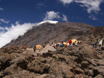
Day 5
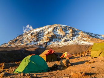
Barafu (4600m)
Hiking time: 3.5 hours
estimated distance: 4km
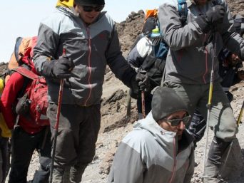
First thing, you will be making a steep hike out of the valley. The air starts getting quite thin, and you will be running short of breath. It is a tough, but rewarding uphill to the rocky, craggy slopes at the camp. Barafu means, ice in Swahili, and it is extremely cold at this altitude. So, go to bed early because we will be waking you at midnight for the final leg to Uhuru Peak.
Day6 Summit Uhuru peak (5895m) – Mweka camp (3100m)
Hiking time: 7 hours
estimated distance: 5km
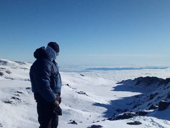
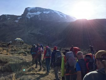
We will start our ascent by torchlight around midnight so that we can be up on the Crater rim by sunrise. The steep climb over loose volcanic scree has some well-graded zig-zags and a slow but steady pace will take us to Stella Point (5,735 m.), in about five or six hours. We will rest there for a short time to enjoy the sunrise over Mawenzi. Those who are still feeling strong can make the two hour round trip from here along the crater rim to Uhuru Peak (5,896 m.), passing close to the spectacular glaciers and ice cliffs that still occupy most of the summit area. The descent to Barafu is surprisingly fast, and after some refreshment, we continue to descend to reach our final campsite (3,800 m.) Millennium. Most of us will be too tired to notice the beauty of the forest surrounding. We spend our last night on the mountain at Mweka Camp.
Day 7
Mweka Camp 3,100 m/10,170 ft to Mweka Gate 1,980 m/6,500 ft to Arusha (890 m/2,920 ft) 15 km, 3 hours Forest
After a deserved strong breakfast it is a short scenic 3-hours hike back to the park gate. Please all tips to porters and guides is given once all crew and the clients gears reached the mweka gate safely, but remember to tip your staff at the gate. At Mweka Gate, you can sign your name and add details in a register. This is also where successful climbers receive their summit certificates. Climbers who reached Stella Point are issued green certificates and those who reached Uhuru Peak receive gold certificates. From the Mweka Gate, you will continue down to the Mweka Village, possibly a muddy, 3 km, 1 hour hike if the road is too muddy for vehicles. In Mweka Village a delicious hot lunch will be served after which you are driven back to Moshi for an overdue hot shower and comfortable night in a nice hotel in Moshi.
Price:$1650 Per Person